LOCATION _ THE BIG ISLAND
HUALĀLAI VOLCANO
Duration 5 hrs
Rated Moderate Age 8+
$175 Adults
$150 Children 8 – 12
THE VOLCANO
IN OUR BACKYARD
Hidden Crates Hike
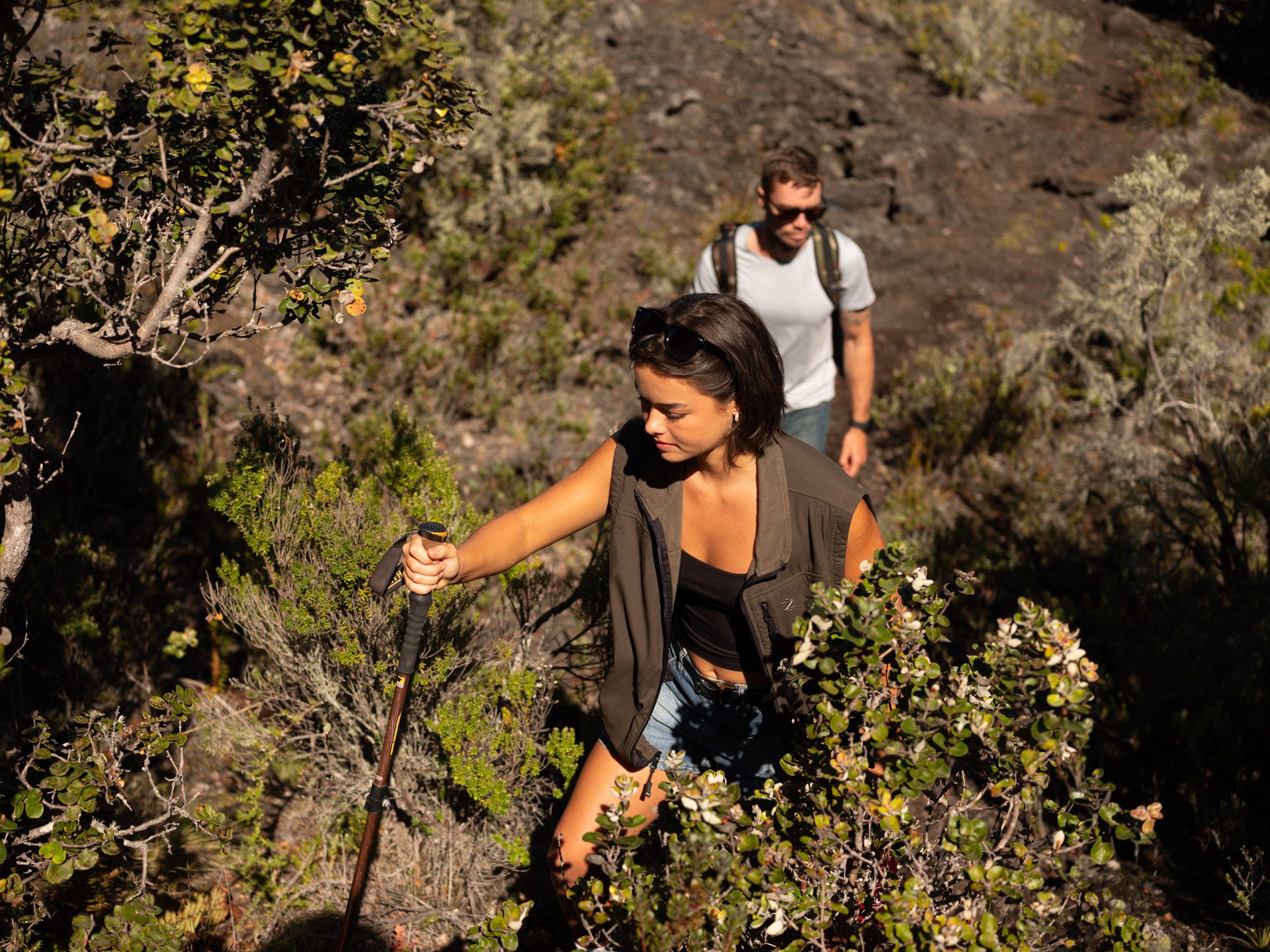
Venture onto private land behind 3 locked gates to explore the upper slopes of Kona’s very own volcano – Hualalai. This journey provides intimate, unique access to volcanic sites.
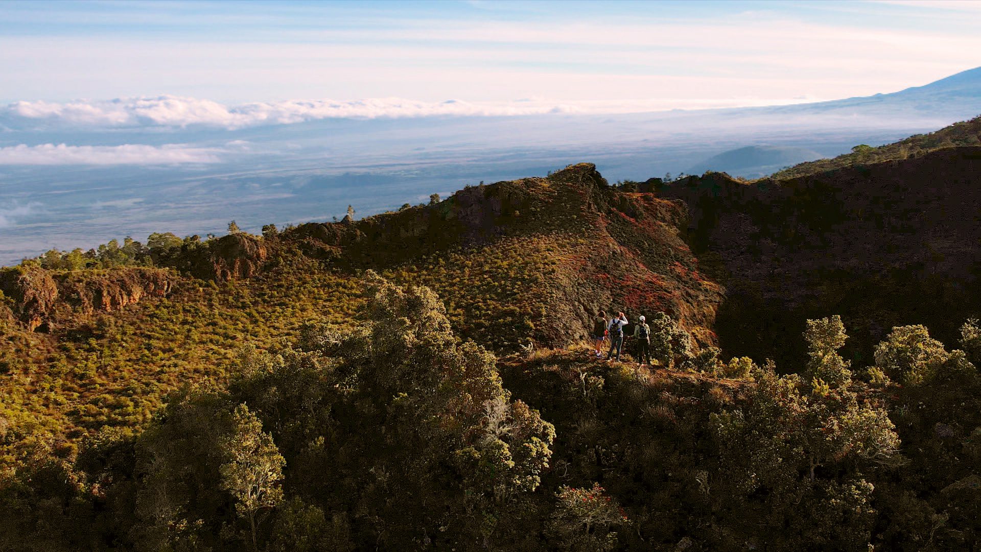
Not just anyone gets to explore Hualālai, the active volcano in Kona’s backyard. This is not your basic beach vacation. A ridgeline with near-sheer cliffs on either side. Two-hundred-and-seventy-degree views at around 5500 feet. Three-and-a-half miles over rugged terrain with a thousand-foot elevation gain and descent in these sacred lands. And all of it on land privately owned by Kamehameha Schools. These chasms of craters, sudden lava tubes, and old-growth forests are a crash course in volcanic activity. It’s only about a half-hour drive from town and up a bumpy road past the top of Kaloko Drive.
HIGHLIGHTS
- Exclusive access to Hualalai volcano and into a native forest
- Stand on the edge of precipitous volcanic craters that plunge deep into the earth below
- Make your way through an intact lava tube unaltered by humans
So, buckle up, because we’re going hiking.
Schedule
Tours depart daily from Hawaii Forest & Trail Headquarters. Please contact us for full details.
What’s Included
Snacks and beverages.
Gear Provided
Walking sticks and rain jackets.
Restrictions
Guests should be able to hike on uneven or rocky terrain. We sometimes encounter cool, wet, or muddy conditions. Please note the access road to our private lava tube does contain some unpaved and bumpy sections. Due to these road conditions this tour may not be suitable for those guests who are prone to motion sickness. Other tour restrictions may apply.
REVIEWS
4.8 STARS
Recommended by 98% of travelers
(325 Reviews)
★★★★★
Great Experience – This hike is legit…..a challenging hike with a really cool pay-off at the top …and gliding thru the lava tube was super cool. Our guide, Eugene, and his partner Taro, were really great and allowed for a few stopping points on the way up to allow us to catch our breath. Snacks and drinks at the end were a pleasant surprise. Pack your hiking shoes, bring water, and take advantage of the hiking sticks provided, you will need them. Also, enjoy the quiet sounds of nature in this holy Hawaiian place!
★★★★★
Best hike ever – This was the best hike /tour we have done so far on our trip to the big island. Mark , our guide was very enthusiastic, informative and knowledgeable about the volcano, plant life and ecology overall. He was just the coolest guide. It was a moderate hike, steep and yet so enjoyable. The views were amazing. Enjoyed the cooler temperatures at the top. We hiked about 6200’ so worth it!
★★★★★
Breathtaking views – Wow- the views along the way were stunning! If you are not a hiker, this trip may be a little bit of a challenge. You do ascend over 1400 ft. Our guide, Mark, was super knowledgeable about the land. He was also good about giving us options based on our group’s abilities. We had an 8 and 10-year-old and a person who had never hiked before. The others in our group were awesome pausing for us to catch up and giving us a little rest time. We had such a good time and enjoyed the morning up on the volcano.
★★★★★
Great Hike – Our guide Mark was great. He was informative, humorous, and reflective. The hike can be challenging in places but the views are worth it. It was a fun and exhausting way to spend the early morning. 10/10 would recommend


Hawaii Forest & Trail
Founded in 1993 with an emphasis on conservation and education. They’ve got island-wide partnerships to get guests into private lands and wildlife refuges. Specialized trips stretch across the geological, ecological, and cultural diversity of Hawaii. The Hidden Craters Hike takes you on a loop through varying landscapes and volcanic formations. It’s about three-and-a-half miles with over a thousand foot elevation gain up – and back down. See three types of craters, a fern-filled forest, and duck into an ancient lava tube. They’ll supply all the gear: reusable water bottles, drinks, day packs, snacks, and walking sticks. Most importantly, they’ve got the keys to get you onto the private land.
It helps to start with silence. Well, not complete silence, anyway. Traveling the upper slopes of Hualālai will put you deep into endemic bird habitat. As soon as you’re out of the van at the trailhead, you can already listen for ʻApapane, ‘Amakihi, and, if you’re lucky, an ‘Iʻiwi piercing through the trees. This is wahi pana, a sacred or legendary place. Pana also translates to heartbeat or pulse. Can you hear it over the calls of the birds?
These species have been soaring over this island for hundreds of thousands of years. Humans — not so much. Let the birds be your unofficial guides on the private trail through quickly shifting landscapes and geological formations. Cruising through these elevations is an experience not just of height, but also of depth. Now’s your chance to take it all in.
Early Hawaiians came mauka, or inland up the mountains, to gather necessities or engage in ritual and ceremony. Large villages weren’t built here. Climbing up the steep slopes of the mountain to sprawling views below can easily make you feel insignificant. It’s the place for contemplation, renewal, and envy-inducing selfies. And perfect to see the destruction the volcano goddess Pele can wreak on a landscape.
Legend has it that Pele spared the home of a generous villager who shared her meal of roasted breadfruit. Kaʻūpūlehu Crater, or the roasted breadfruit, marks the highest point of this hike. Lava bubbled up then ripped open fissure craters down slope, spewing molten rock to the coast. The fishing village was destroyed. Except for one belonging to a young girl who’d earned Pele’s favor.
It’s a place of profound connection, reflection and renewal.


Geology
Volcanic inner workings are a complex mish-mash of molten rock and gasses flowing and erupting in various directions — not to mention the chemical changes that occur with the application of heat and pressure. Volcanologists have parsed Hualālai’s formations to understand and explain how each is created. For the average observer, it can look like a bit of a mess.
As with all Hawaiian volcanoes, Hualālai is a shield volcano. This means the magma — molten rock below the surface — is thin enough to allow gasses to pass through and create the porous rock we see throughout the islands. Carbon dioxide, sulfur dioxide, and other gasses easily escape their molten vehicles even as lava — molten rock above the surface of the earth — hardens. Runny lava also accounts for the shape of these volcanoes. Shield volcanoes look like exactly that. They’re a gently-sloped convex shape reminiscent of a shield resting on the ground.

Climate
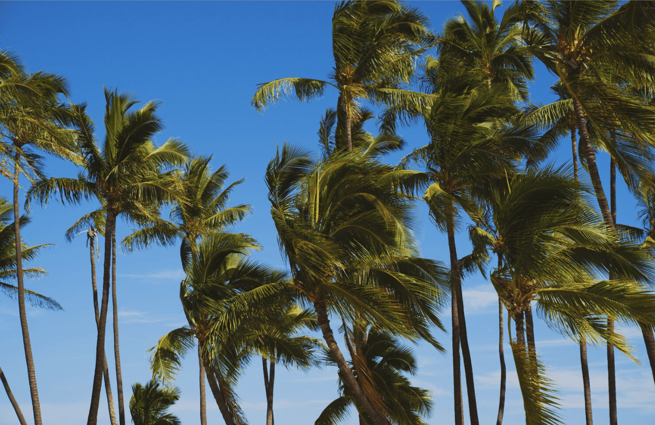
Making the trek up the slopes of Hualālai is a journey through diverse climate regions. You leave the dry conditions of coastal Kailua-Kona with its low annual rainfall before climbing past the cloud forest, a belt of subtropical forest that hangs less than halfway up the mountain. If you’re looking for a taste of the tropics just a ten-minute drive from Kailua-Kona, this is where to find it. Go a little bit farther up and it’s not hard to notice the vegetation thinning out as the climate gets dry once more.

A Few Unwanted Visitors
The landscape in the summit area is special. Above 5000 feet in elevation is mostly native forests, meaning it’s filled with species that arrived here naturally with no human intervention. Nowadays, there are some invasives in the mix. Mullein is native to Europe, Asia, and parts of Africa. Introduced species such as these can easily push Hawaiian vegetation out of the landscape. With no native predators and no reason to protect themselves, species in Hawaii lost competitive characteristics to ward off invasives like mullein.
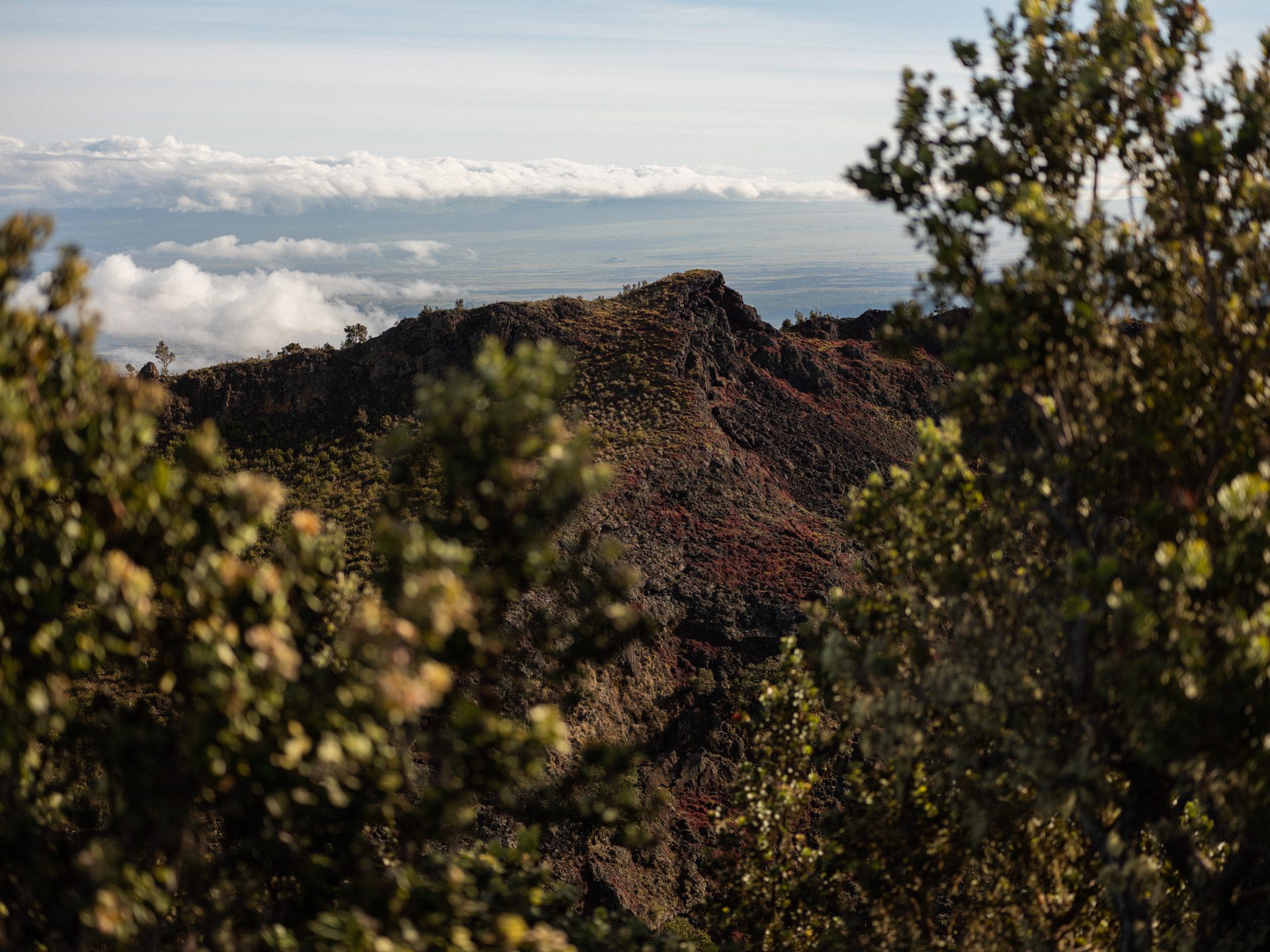
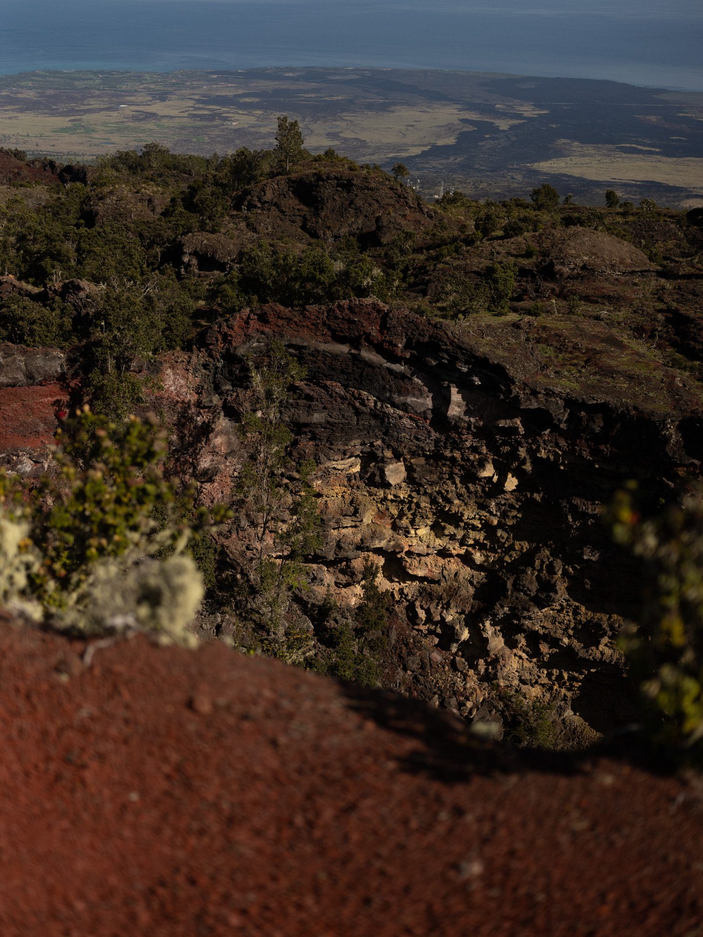
TRAVELING THE SEAM OF A VOLCANO
Imagine a paper bag getting filled with water. Its structural integrity dissolves as the seams burst open. But instead of water, it’s lava lifting and surging up through a gaping crevice. Lava pouring through a ridgeline with visible flows gushing toward the Pacific Ocean. Now, you don’t have to imagine. This is one of Hualālai’s fault lines, where molten rock last melted its way down the mountain in 1800 and 1801. Did you forget your morning coffee? No worries. Hiking this ridgeline gives you a better shot of adrenaline than even the strongest Kona brew.
FEELING BOLD _ WALKING WITH THE ACACIA KOA AND ‘ŌHIʻA LEHUA
Old-growth forests can be hard to come by on this young island. Stepping into a grove with lots of Koa trees is even more rare. This protected endemic species only grows in upper elevations with a perfect vortex of conditions: sufficient precipitation, neutral to acidic soil, and, of course, no recent lava flows. Koa also translates to brave, bold, or fearless. ‘Ōhiʻa Lehua are found throughout the islands, often embedded into barren lava fields, latching onto vertical walls, or even next to what were once massive lava lakes — they can close their pores to not absorb toxic gasses. Talk about risky behavior.


DISCOVER THE UNDERGROUND SCENE
Underground rivers of molten lava flow during times of active eruptions. Forming when the exposed crust of a flow hardens, insulated lava carves its way into the ground. The eruption subsides and you’re left with an empty tube. Skylights are natural collapses giving glimpses of the lush world above. Let the spelunking begin.